


When you're going on a road trip, everyone has a role. You might be the main driver or the navigator. Maybe you're in charge of the aux cord and providing the vibes, or you're the snacks person who is always buying the best options for everyone else. Regardless of what you're bringing to the table, it's important to get from point A to point B safely.
There are many navigation apps that can help you on your travels. Google Maps is the most popular one in the world and for good reason. It provides accurate directions and real-time traffic and navigation advice. However, if you're heading out on that road trip, Google Maps is not the most helpful tool for planning out where you're going to stop. There is a better option that comes from Google that people forget about and it's called My Maps.
My Maps is tailor-made to plan your trip
It uses Google Maps' interface
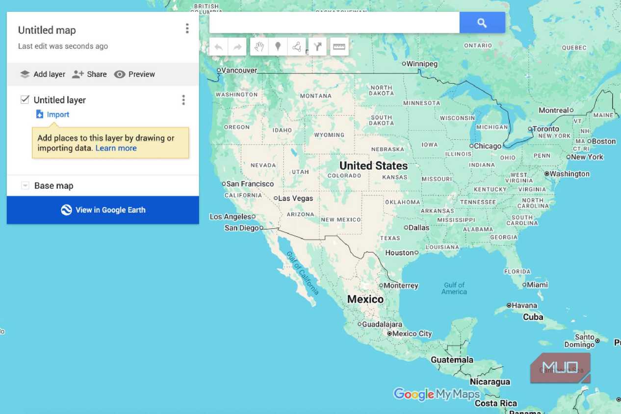
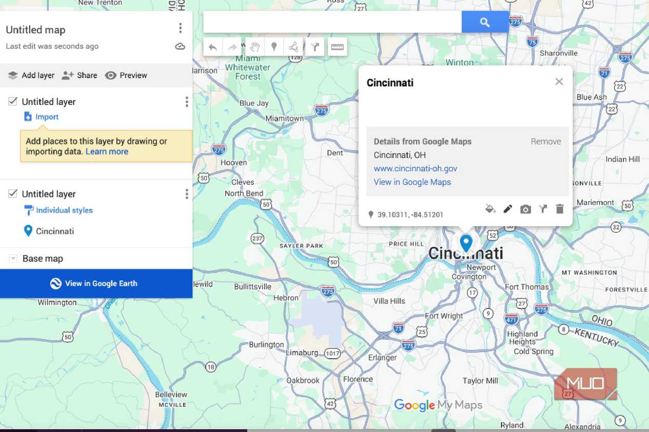
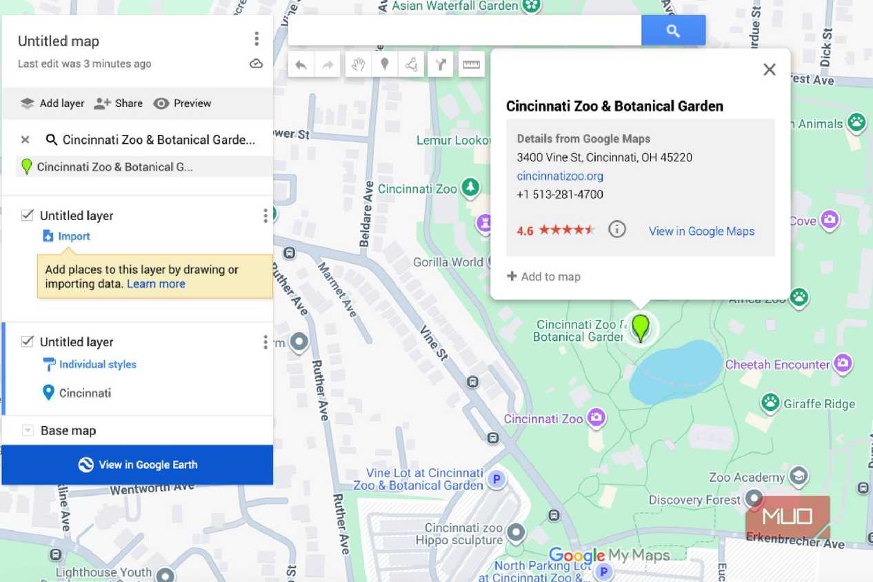
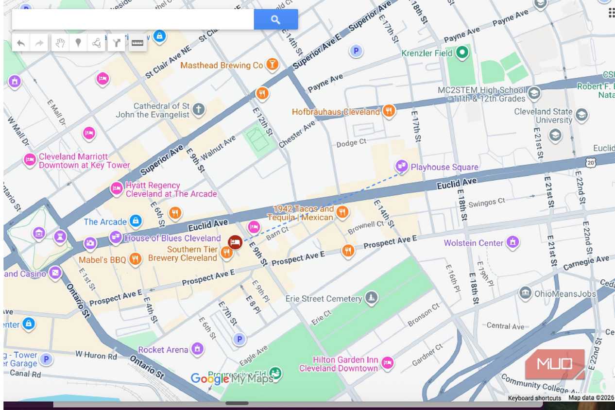
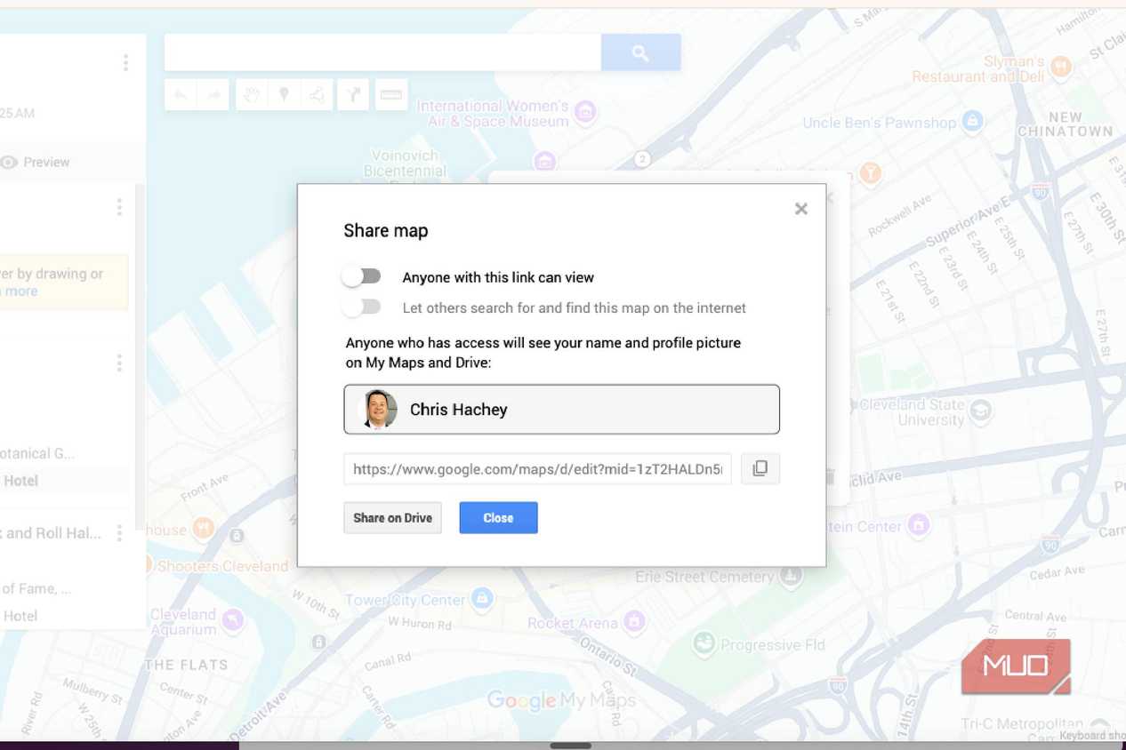


 Credit: Chris Hachey / MakeUseOf
 Credit: Chris Hachey / MakeUseOf
 Credit: Chris Hachey / MakeUseOf
 Credit: Chris Hachey / MakeUseOf
 Credit: Chris Hachey / MakeUseOf
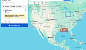
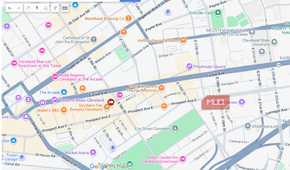
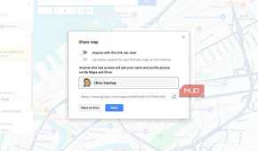
You can get to Google My Maps by visiting mymaps.google.com or google.com/maps/d.
Google My Maps is specifically meant to help you draw maps. It isn't necessarily meant to be a map that gives you directions, though it can do that. It takes Google Maps' technology and allows you to make your own maps based on whatever you want.
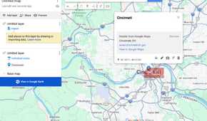
It has the same searchbar that you'll find in Google Maps, so if you've used Google Maps extensively, you'll be very comfortable using it. You can type in any address that you want to look up and it will bring it up on the map. However, you can then decide what you want the location to include in terms of its listing.
This also lets you take the perspective of a travel agent by mapping out step-by-step guides for a trip.
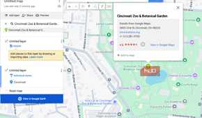
You can choose its icon, color, pin, and all kinds of other information about it. You can even choose what the base map looks like, so you don't have to rely on the chosen one from Google Maps.
By creating layers for the map, you can decide what kind of details are listed on it. You can choose what you want to show up and be placed on the map in terms of which attractions and buildings, such as where you might want to get gas. You pick the locations and they are placed accordingly.
Draw a map on your own
No need to change programs

You don't have to stick with what features Google Maps offers you. You can draw your own map within Google My Maps. If you have a destination that you know is not on Google Maps, you can add it to My Maps and mark it with an icon.
This gives you the flexibility not only to highlight lower-profile places but also to label them, making it simpler to draw a road trip itinerary. This also lets you take the perspective of a travel agent by mapping out step-by-step guides for a trip.
You can make it more granular as well, as you don't strictly have to rely on driving directions. You can also create walking paths and map out a walking path for hikes as well. While this isn't something I've done for my trip to Ohio, I plan on making one for my travels to California in a few weeks to map out some of the hiking trails near Dana Point.
There's a built-in ruler tool that gives you a better understanding of what your travels will be. By using the built-in ruler, you can estimate how long travel times might be, as it automatically pairs with real-time Google Maps updates. Not only is this helpful when you're making a trip ahead of time, but it is also so helpful when you are planning something the day of.
Look up your map on Google Earth
Get a look at what your trip will be

Give yourself a bigger picture of what your trip will be like when you click on the Google Earth feature. This lets you see what your points of reference are in real-time (with as updated images as Google Earth has.)
The added level of design provides you with destination points to look for when you're driving or walking. Suppose you're driving from Cleveland to Cincinnati and have to look for a specific circle to go around in order to get from one place to the other. By looking on Google Earth, you'll be able to know which exit lets you off.
This is also one of the tougher parts of following Google Maps directions for me, as there are often times vague steps that give instructions based on 1,000 feet or a third exit going around a circle that can be hard to decipher in the moment. By looking at it ahead of time via My Maps, you'll have a better understanding of where you need to go.
You can also download your My Maps to use offline, which is basically the equivalent of printing out your directions in this day and age. Having it on your phone without needing internet access lets you use your map with ease any time. Anybody who has hiked in remote areas without a ton of cell service will be happy with this.
Google My Maps puts cartography skills in your hands
Using Google My Maps rather than Google Maps is an easier tool when you're creating an itinerary for a trip. It provides you with user-friendly access to drawing your own maps and understanding where you need to go. The directions can be used with Google Maps, so you'll have real-time traffic updates and info. But My Maps is ideal for creating step-by-step guides to where you need to go.